
Why the Severn Estuary?
Tidal potential is highly geographical
The tide is a global phenomenon - brought about by effects from the moon’s gravity which both pulls the sea towards it at earth’s near side, as well as creating a centrifugal force on earth’s far side. This results in two high tides per day (approximately one rotation of earth), which gradually wash around the entire earth, affecting the oceans and all bodies of water connected to the oceans.
The tidal ‘bulges’ that circle the earth are only an average of 0.6m high.
However, due to the topology and bathymetry of the earth’s surface (i.e. the shape of the land and seabed), some areas experience significantly higher tides than others, due to the way that the flow of the water is shaped and funnelled.
A map of the average tidal ranges of the earth is shown below. The vast majority of the earth has a tidal range of less than 1.3m, and the high tides are concentrated around areas such as narrow dead-ends, pinch points in the water flows, and other coastal features.

Peak tidal amplitudes indicated by colour [Public domain via Wikipedia]
The awesome tide of the Severn Estuary
But what about the Severn Estuary?
The Severn Estuary has an astonishingly high tidal range of 15m - which is off the upper end of the scale on the map above by a factor of more than 10. In fact, it is the second largest tidal range in the world, just behind Canada’s Bay of Fundy with 16.3m.
The explanation for the exceptionally high tidal range is complex. But in brief, it is related to the natural concentration of tidal flow in the north Atlantic Ocean and the unique funnelling effect of the Welsh and Southwest English coastlines approaching the mouth of the river Severn.
A satellite image showing this unique geography and how it leads to the high silt loads in this estuary is shown below:

The Bristol Channel, as observed from space, with a gradually reducing funnel shape from west to east
It is interesting to note that the Estuary’s characteristic brown colour is a result of the incredible volume of water flowing in and out of the estuary. This is enough to stir up vast quantities of sediment which then gets carried with the flow.
This is also the reason for the rapid erosion of the coastlines and the relative ecological barrenness within the estuary’s waters (as light cannot easily penetrate the suspended sediment for plant life to flourish).
With great tidal range comes even greater power
The power potential of a large body of water flowing through a series of turbines is influenced by:
The volume flow rate of water through the turbines
The difference in water height just before and after the turbine, sometimes referred to as “head”.


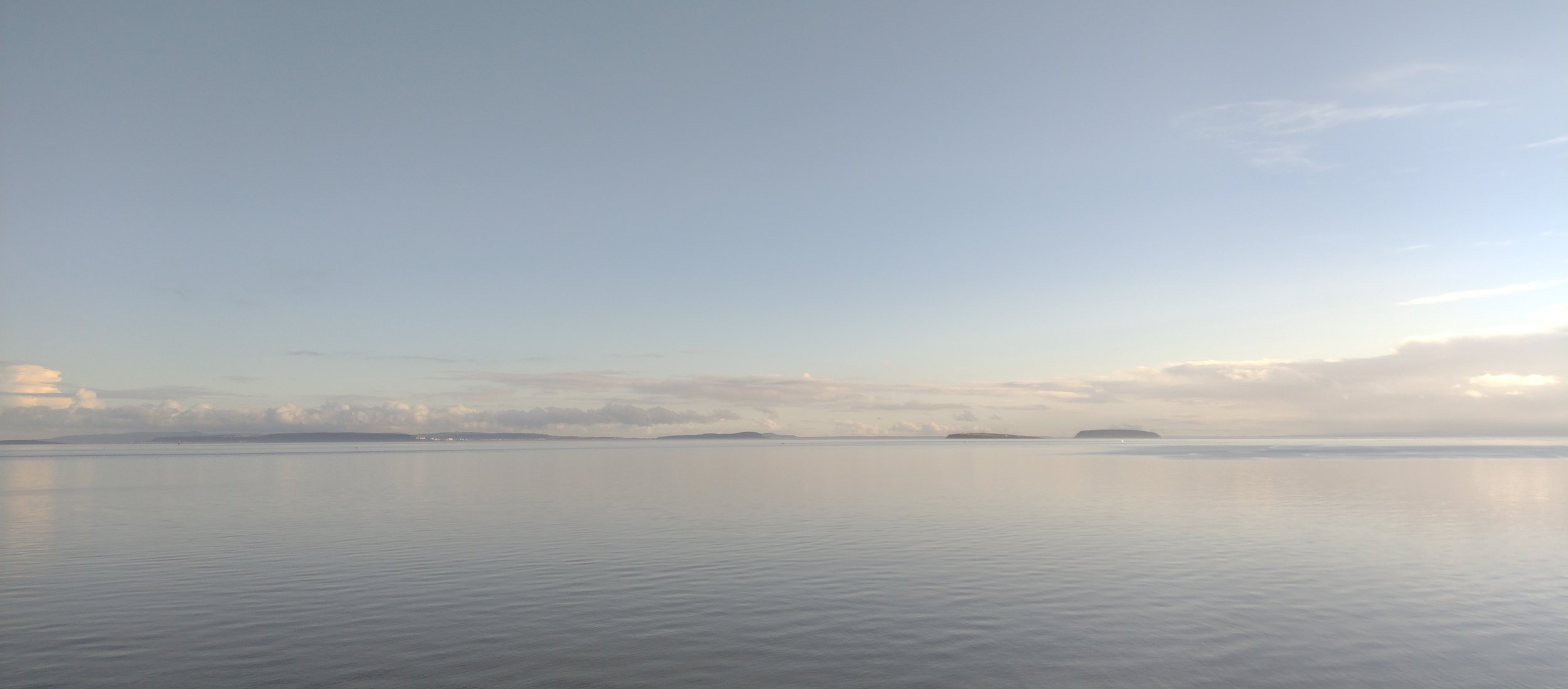
The above photographs of Penarth pier were taken on a day when the tidal range from high to low tide was just over 11m.
Given that both the volume flow rate and the difference in water height are a function of the tidal range, the power potential of a tidal project is actually related to the square of the tidal range.
So, given that we know that the tidal range of the Severn Estuary is 10 times higher than well over 99.9% of the earth’s oceans and seas, and the power potential is related to the square of the tidal range, the conclusion is that:
The Great Western Power Barrage can generate over 100 times more tidal power than any equivalent size of project in 99.9% of the earth’s seas
In other words, for the question of where on earth to harness the power of the tides, the answer has to be - on the Severn Estuary.